



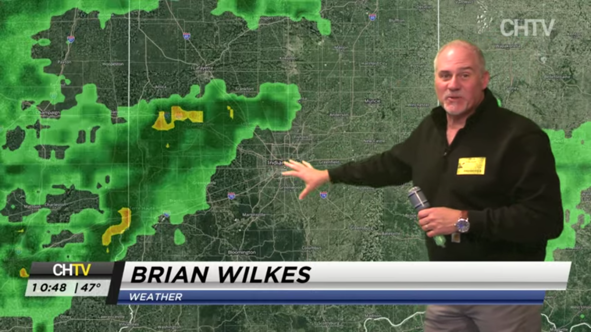













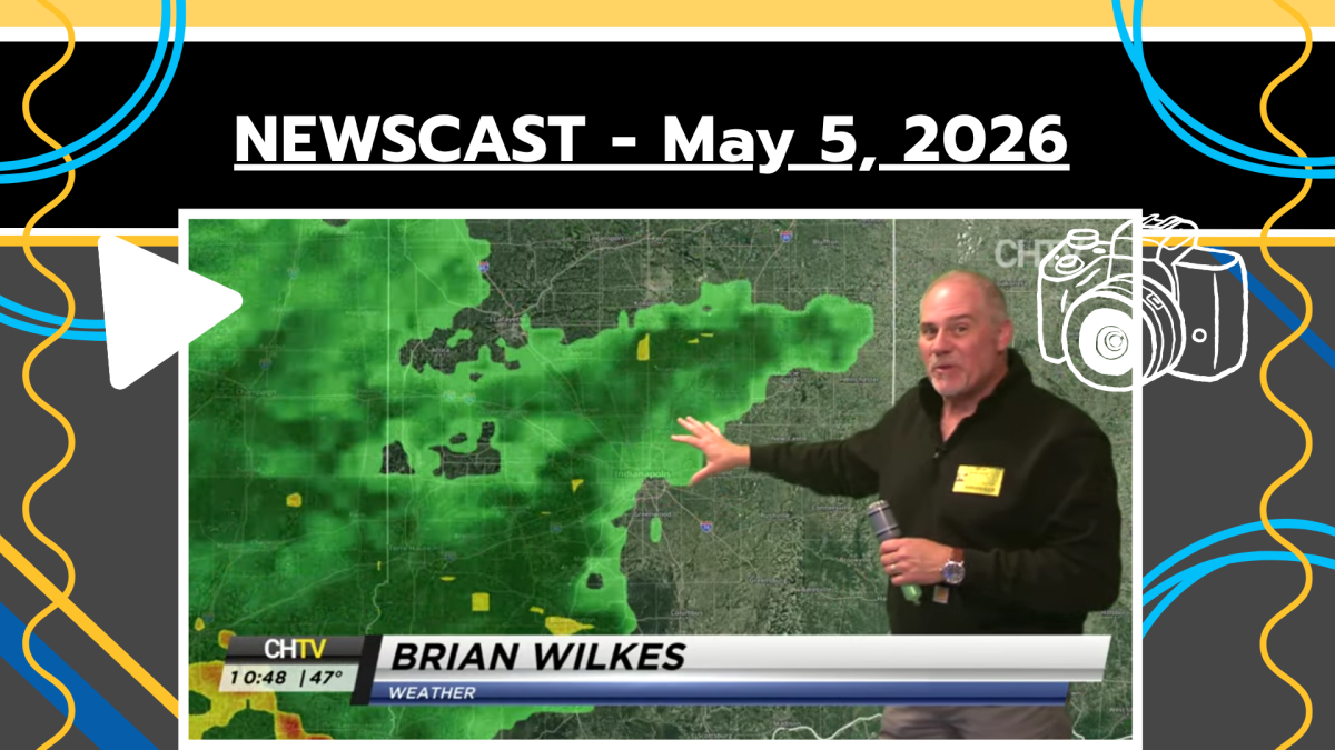































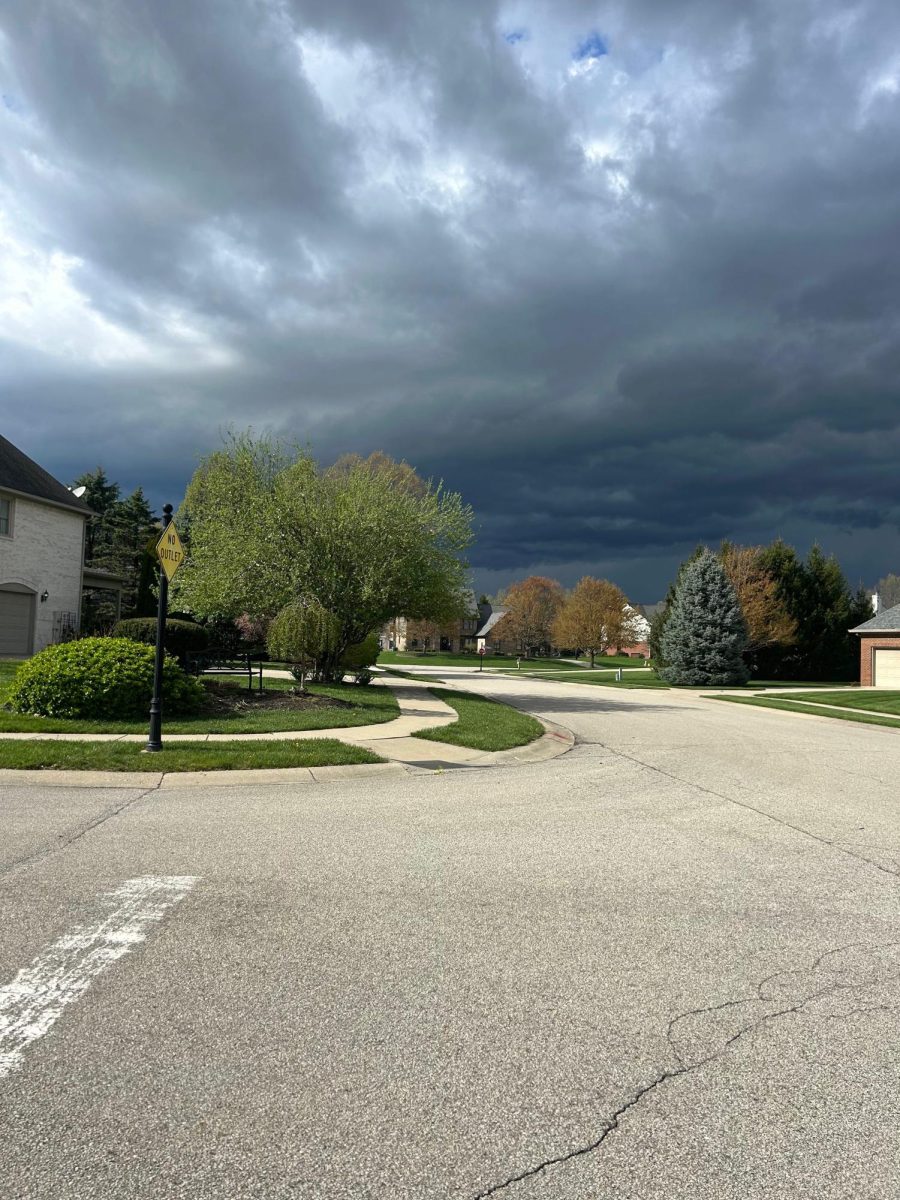
Severe storms have the possibility of bringing frequent lightning, hail, gusty winds, tornados and heavy rain to parts of Indiana, before cooler air arrives. This weather had an impact from Tuesday night into Wednesday morning, with high risks coming from northern Indiana, to medium/low in central/southern parts of Indiana on Wednesday. According to 13 WTHR, instead of one big lineup of storms, we can expect multiple storm clusters. Their setup also favors having two main waves of thunderstorms, each with different timing and threats. All depending on where you live in the state.
The first rounds of storms mainly targeted both northern and north central Indiana. Mainly because the atmosphere was slightly more favorable for stronger storms on Tuesday night. More specifically, Carmel Indiana is in a level 2 storm threat area according to 13 WTHR as well. While northwest Indiana saw the highest severe potential and storm prediction and threat levels around 4 and 5.
Because these storms moved in clusters rather than in an organized fashion, they could spin more easily. Causing individual supercells at times with risks of tornados. The high tornado risk occurred during the first wave on Tuesday night, with threats appearing isolated. Tornadoes in northwest Indiana had the risk of reaching EF-2+ strength. Showing how tornado risks are low in central Indiana, but not 0.
Scattered heavy rain storms push across Indiana during Wednesday morning, which is also a threat for a couple of storms bringing wind and hail. According to 13 WTHR, there is a 100% chance of rain and thunderstorms today, with highs in the 70s, and low in the upper 20s. There will also be wind gusts at 20 mph, as well as an 85% humidity rate.
Sources: